• Monday - Saturday:
  • 9am - 8pm
  • Danapur Patna 801503
  • Patna

Land Survey/Topography

Land Survey/Topography

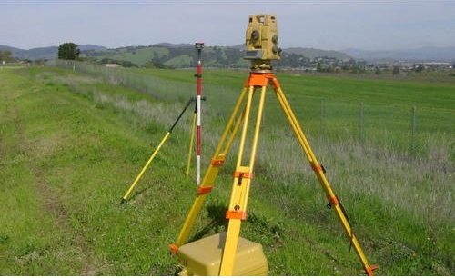
Before undertaking any significant construction/development project or environmental improvement project, it may be necessary to perform a topographic land survey to identify various features and elevations of the land. Point to Point Land Surveyors, Inc. has many years of experience in conducting these surveys with remarkably accurate results.


While the standard land survey deals primarily with marking out the boundaries of a parcel of land, a topographic survey is primarily concerned with noting the natural and manmade features on the land itself. These may include hills, ravines, streams, trees, fences, buildings, and other improvements over the natural state of the land.

A topographic survey shows the location, size, and height of these types of improvements, as well as gradual changes or contours in elevation. Unlike boundary or residential land surveys, a topographic land survey focuses more on elevation than on horizontal measurements. Most of these measurements are taken either with a surveying-quality GPS unit, or with an electronic EDM instrument. The results of the topographic survey are not marked using stakes or other landmarks, but are instead drawn as contour lines on a map of the land (topographic surveys are sometimes called contour surveys).

Today, sophisticated computer programs allow for digital versions of these maps, as well as interactive elevation views of the land. The data may be used in CAD programs, where it can be manipulated by engineers or architects to demonstrate how the topography will change through planned improvements.

<
TOP